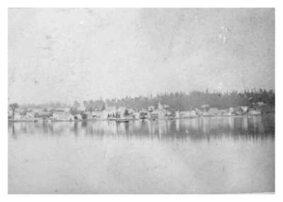
Orillia From Pumpkin Island
Description
- Media Type
- Image
- Item Type
- Photographs
- Description
- This picture shows Orillia from Pumpkin Island. Pumpkin Island is now known as Cedar Point or Cedar Island. Actually, it was a peninsula across the base of which was dug a canal. This island was developed by Andrew Tait, a well-known lumberman in Orillia.
- Notes
- Can also be viewed in the William Sword Frost Scrapbook page 43
- Date Of Event
- 1875
- Subject(s)
- Local identifier
- OR_494
- Collection
- Orilliana
- Geographic Coverage
-
-
Ontario, Canada
Latitude: 44.60868 Longitude: -79.42068
-
- Copyright Statement
- Copyright status unknown. Responsibility for determining the copyright status and any use rests exclusively with the user.
- Contact
- Orillia Public Library


